Tornado Warning — Anne Arundel, MD — Jul 28, 2026
NWS LWX · ETN 36 · National Weather Service warning
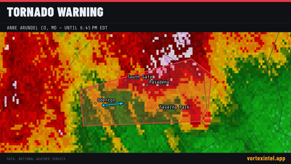
Event Summary
The National Weather Service office LWX issued a tornado warning at 22:10 UTC on Jul 28, 2026 covering Anne Arundel, MD. The warning was in effect for 18 minutes, ending at Jul 28, 2026 22:28 UTC. At the last radar check, the storm was located near 39.08, -76.68, moving east at about 29 mph.
Timeline
- Issued
- Last updated
- Ended
Counties Affected
Towns in the Path
Storm Reports
| Time | Location | County / State | EF | Remarks |
|---|---|---|---|---|
| 1 ESE Lake Shore | Anne Arundel, MD | EF1° | An EF1 tornado touched down in Lake Shore near Patapsco Road... tracking south for about 3/4 of a mile for about 2 minutes. Estimated max path width was 160 yards. Esti (LWX) | |
| 1 NW Cape St. Claire | Anne Arundel, MD | Unrated | A second tornado touched down along Lake Drive in the Arnold/Cape Saint Claire area for about a minute. Significant convergent tree damage was noted... along with the g (LWX) |
Preliminary local storm reports (SPC) within the warned area window — subject to revision after NWS surveys. ° = rating parsed from the NWS damage-survey text quoted in the SPC report narrative (derived, not an official F-scale entry).