Tornado Warning — Grayson, KY — Jul 21, 2026
NWS LMK · ETN 38 · National Weather Service warning
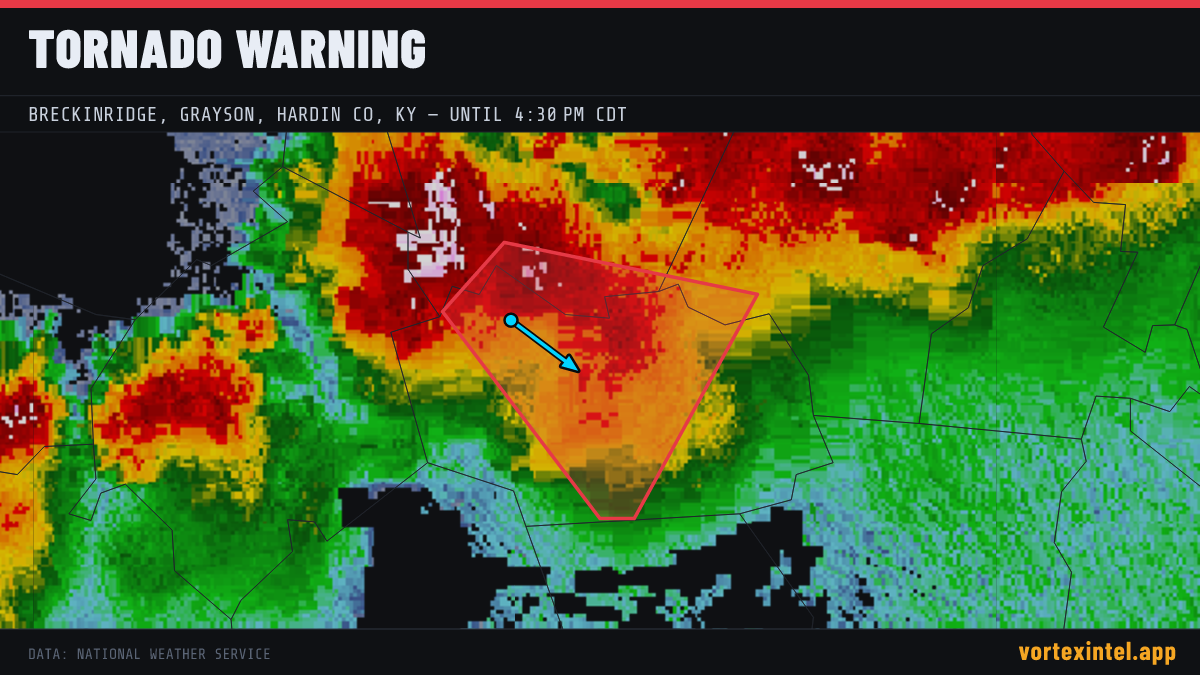
Event Summary
The National Weather Service office LMK issued a tornado warning at 20:54 UTC on Jul 21, 2026 covering Grayson, KY. The warning was in effect for 15 minutes, ending at Jul 21, 2026 21:09 UTC. At the last radar check, the storm was located near 37.49, -86.37, moving southeast at about 30 mph.
Timeline
- Issued
- Last updated
- Ended
Counties Affected
Storm Reports
| Time | Location | County / State | EF | Remarks |
|---|---|---|---|---|
| 1 ESE Wax | Grayson, KY | EF2° | *** 1 INJ *** Corrects previous tornado report start time. NWS Storm survey found an EF-2 tornado that tracked for 21 miles through eastern Grayson County into Hart Cou (LMK) | |
| 1 N Rowletts | Hart, KY | Unrated | Time Estimated by Radar: Trees fell onto home... though no injuries reported from the damage. Near the 500 block of Rowletts-Cave Spring Road and the intersection with (LMK) | |
| 1 NNE Rowletts | Hart, KY | Unrated | Time Estimated by Radar: Reported that a tornado struck the hit the Hart County Animal Shelter. (LMK) | |
| 1 ESE Wax | Grayson, KY | EF2° | *** 1 INJ *** NWS Storm survey found an EF-2 tornado that tracked for 21 miles through eastern Grayson County into Hart County. (LMK) |
Preliminary local storm reports (SPC) within the warned area window — subject to revision after NWS surveys. ° = rating parsed from the NWS damage-survey text quoted in the SPC report narrative (derived, not an official F-scale entry).