Tornado Warning — Wayne, IN — Aug 1, 2026
NWS ILN · ETN 34 · National Weather Service warning
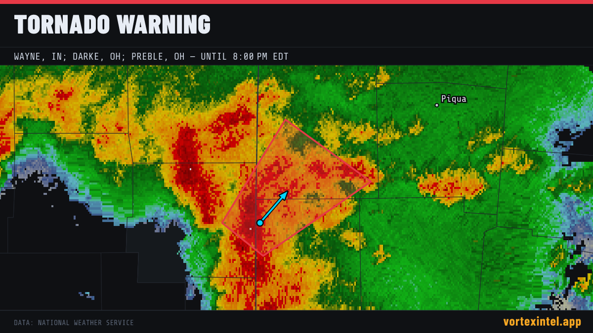
Event Summary
The National Weather Service office ILN issued a tornado warning at 23:31 UTC on Aug 1, 2026 covering Wayne, IN; Darke, OH; Preble, OH. The warning was in effect for 30 minutes, ending at Aug 2, 2026 00:01 UTC. At the last radar check, the storm was located near 39.86, -84.80, moving northeast at about 25 mph.
Timeline
- Issued
- Last updated
- Ended
Counties Affected
Towns in the Path
Near the warned area:
Storm Reports
| Time | Location | County / State | EF | Remarks |
|---|---|---|---|---|
| 4 NNW Eaton | Preble, OH | EF1° | EF1 tornado confirmed northwest of Eaton in Preble County... Ohio. Maximum winds of 100 MPH. This tornado destroyed one outbuilding and caused significant roof damage a (ILN) | |
| 2 WSW Franklin | Warren, OH | EF0° | EF0 tornado confirmed in Franklin in Warren County... Ohio. Maximum winds of 80 MPH. This tornado caused tree damage in several locations... and removed part of a wall (ILN) | |
| 4 NNW Miamisburg | Montgomery, OH | EF0° | Updates previous LSR from 3 SW Drexel. EF0 tornado confirmed east of New Lebanon in Montgomery County... Ohio. Maximum winds of 75 MPH. This tornado caused tree and cor (ILN) | |
| 3 SW Drexel | Montgomery, OH | EF0° | EF0 tornado confirmed east of New Lebanon in Montgomery County... Ohio. Maximum winds of 75 MPH. This tornado caused tree damage along Snyder Road... with some minor da (ILN) |
Preliminary local storm reports (SPC) within the warned area window — subject to revision after NWS surveys. ° = rating parsed from the NWS damage-survey text quoted in the SPC report narrative (derived, not an official F-scale entry).